 vesseltracker.com
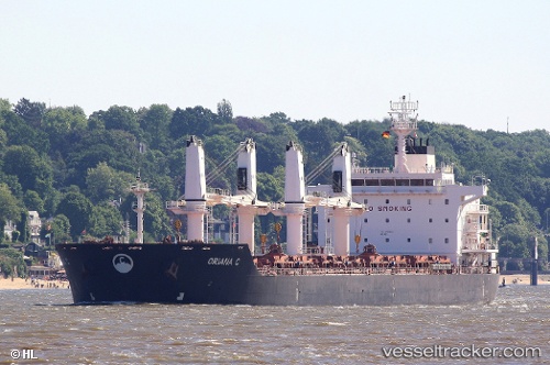
Vessel KALLIOPI S IMO: 9450844, MMSI: 636021274 Bulk Carrier
UTC, -33.03867, -60.57899, course: 333, speed: 0
UTC, -33.03867, -60.57895, course: 333, speed: 0
2026-02-01 01:36:53 UTC, -33.03865, -60.57894, course: 333, speed: 0
Live AIS position:
UTC. Near Villa Gobernador Galvez),
updated 2026-02-01 01:36:53 UTC.
Find the position of the vessel KALLIOPI S on the map. The latter are known coordinates and path.
marine traffic ship tracker show on live map
The current position of vessel KALLIOPI S is -33.03865 lat / -60.57894 lng. Updated: 2026-02-01 01:36:53 UTCCurrently sailing under the flag of Liberia
KALLIOPI S built in 2012 year
Deadweight:
34417 tDetails:
Last coordinates of the vessel:
UTC, -33.03871, -60.57896, course: 333, speed: 0UTC, -33.03867, -60.57899, course: 333, speed: 0
UTC, -33.03867, -60.57895, course: 333, speed: 0
2026-02-01 01:36:53 UTC, -33.03865, -60.57894, course: 333, speed: 0